GPS Map Camera · Geotag Proof
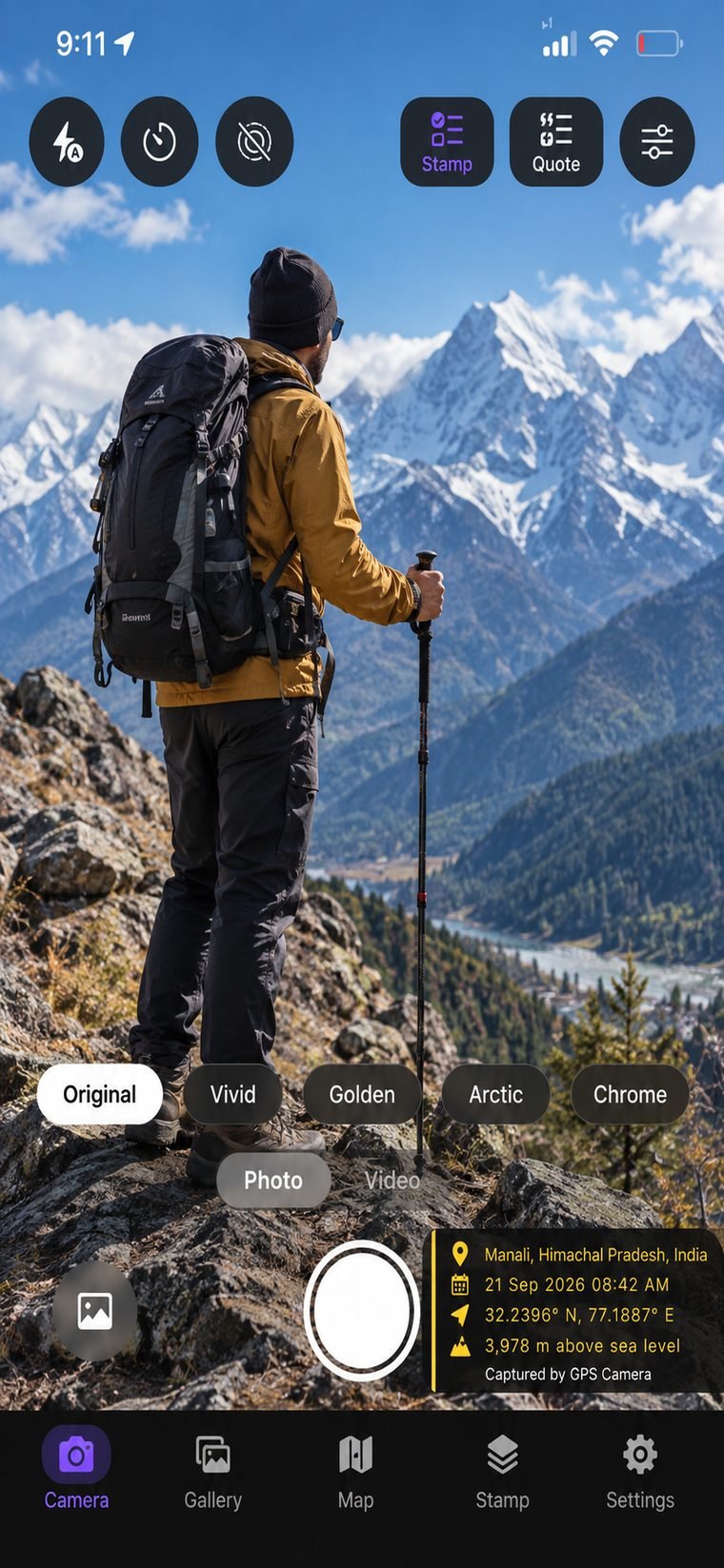
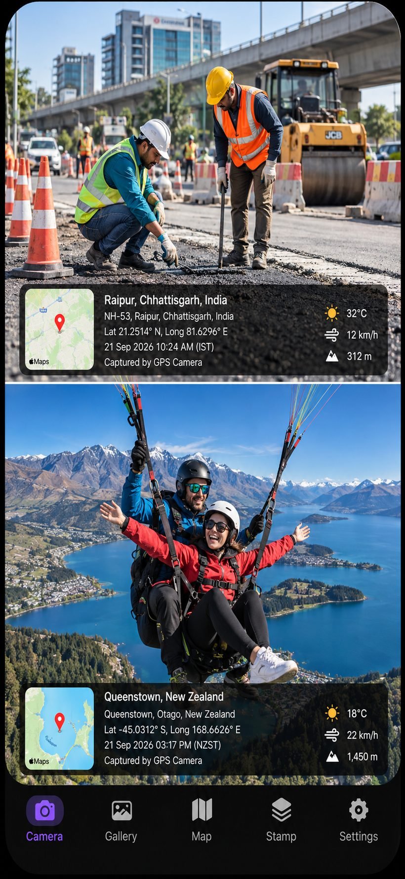
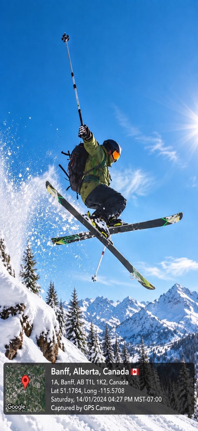
GPS Map Camera burns GPS coordinates, address, altitude, a live map and a precise timestamp onto every photo and video — the moment you shoot. Documentation professionals can trust.
Everything on the stamp
Precise latitude & longitude captured live from the device at the moment of capture.
A real map thumbnail with a pin, burned right onto the photo next to the data.
Reverse-geocoded street, city and country — readable location, not just numbers.
Elevation above sea level and heading, for survey, hiking and field work.
Date and time with time zone — tamper-evident proof of when it was shot.
Record video with the live stamp composited onto every frame as you film.
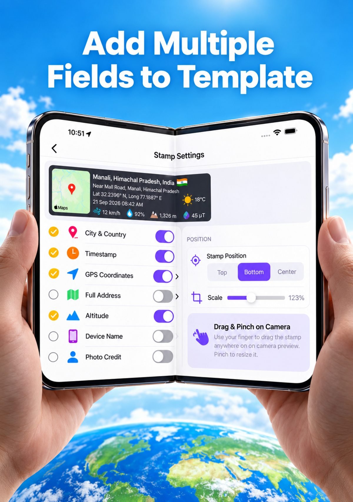
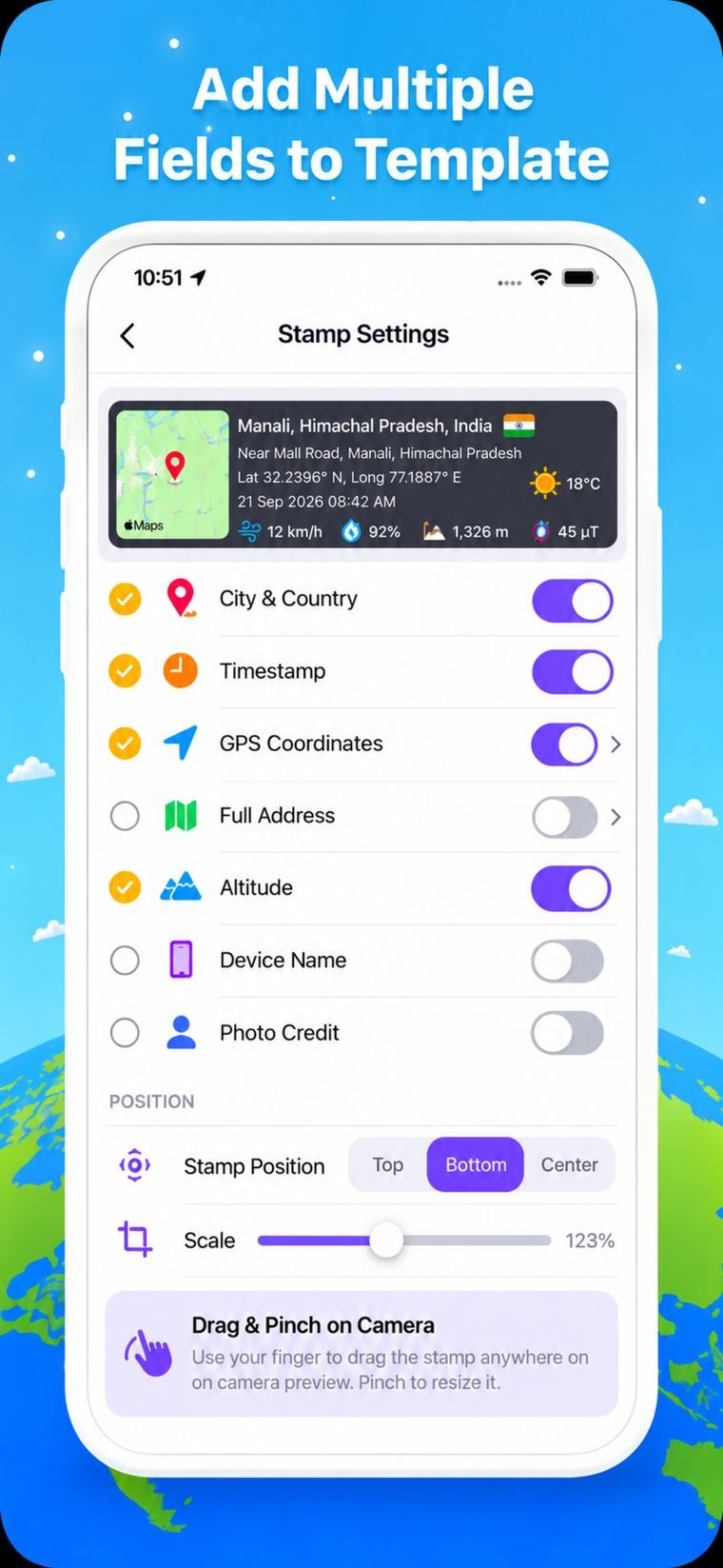
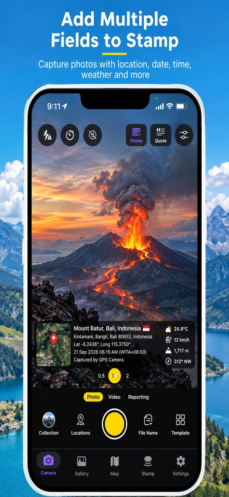
Choose exactly which fields show, reposition, resize, restyle — your stamp, your way.
Stamp photos already in your library, in bulk, with the same template.
Export your geotagged photos as a PDF report, CSV, or KML for Google Earth.
See it in action

Live stamp, filters & pro capture

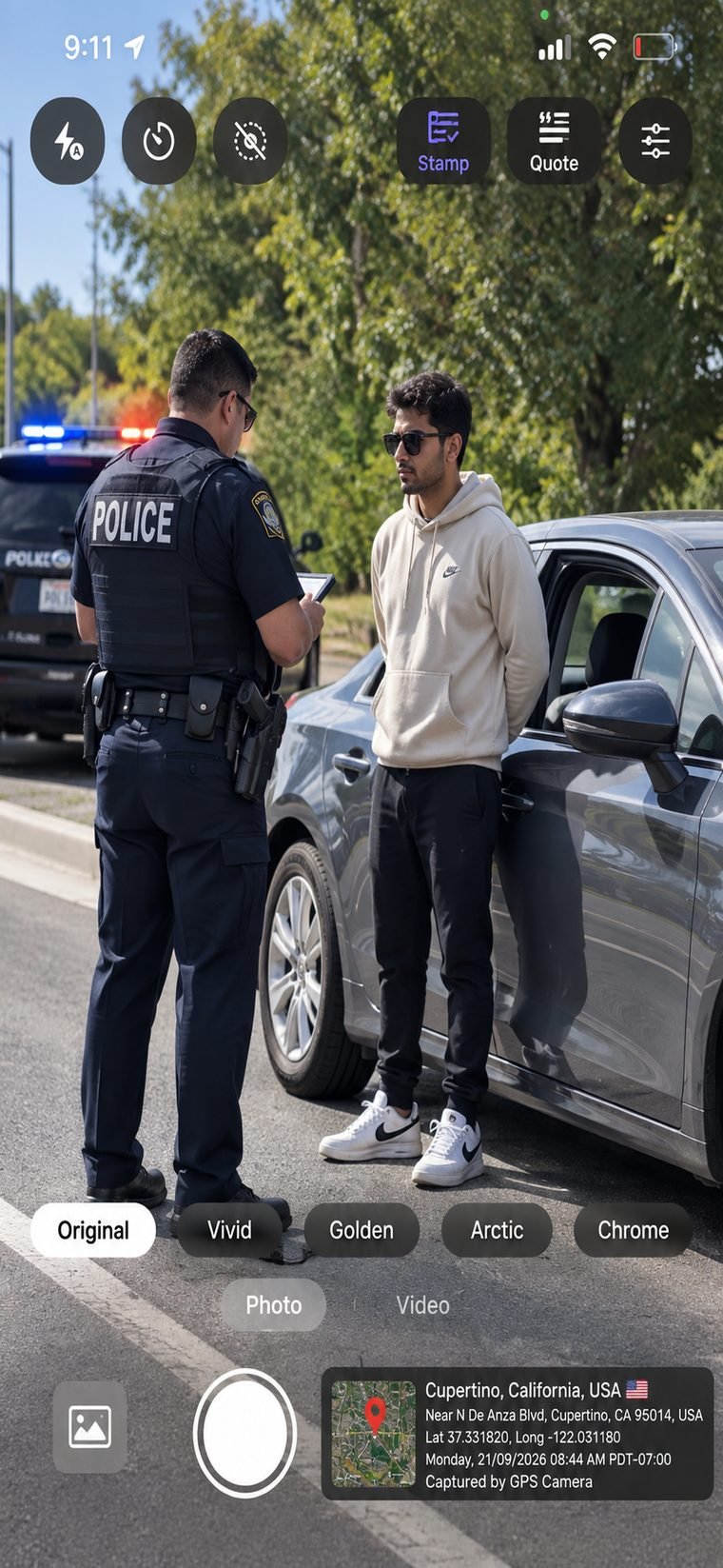
Proof on the job, anywhere

Fine-tune every field & position
Why professionals trust it
The GPS, map and timestamp are burned into the image pixels at capture — not stored as editable metadata. That makes every photo a reliable record for disputes, claims, compliance and sign-off.


Made for the field
Capture location-stamped proof on site, map every shot, then export a clean PDF/CSV/KML report — all without leaving the app.
Site progress, safety & inspections with verifiable location & time.
Proof of attendance, work done & before/after at each address.
Coordinates, altitude & compass for surveys and site records.
Tamper-evident photos for listings, inspections and insurance.
Free to start
Download GPS Map Camera and start stamping GPS, map & time onto your photos and videos today.
Download on the App Store